


Plugins tagged with: layers
87 records found
Tool to perform operations over nodes of a selected feature, not provided by similar tools and plugins.
2023-10-03T13:47:38.968437+00:00
(1)
Resolve the intersection of 2 polygons by removing the overlapped area in the second polygon.
2023-12-18T23:47:13.316423+00:00
(3)
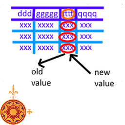
Rename attachment attribute of selected field on all features
2024-01-23T20:06:23.245593+00:00
(0)
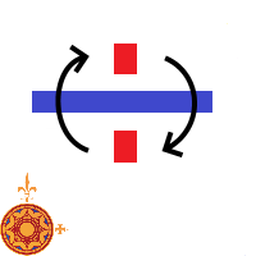
Right Angled Symbol Rotation
2023-10-03T14:26:23.671994+00:00
(0)
Toggle vertex's marker visibility
2024-05-22T09:38:13.681783+00:00
(1)
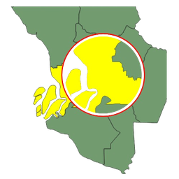
Do a polygon translation to the nearest polygon, by making it coincide their nearest vertices
2024-05-22T10:10:19.640320+00:00
(2)
Copy selected layers and groups from Layers Panel to clipboard.
2017-02-05T18:53:18.764752+00:00
(17)
Panel/dock with overview of layer data sources
Experimental
2024-01-22T21:41:50.948834+00:00
(0)
QGIS plugin to delete all groups and layers from the layers widget
2023-09-21T05:22:51.725328+00:00
(11)
Change the datasource of chosen layers dynamically by searching and replacing user defined variables.
2016-09-08T10:30:43.903381+00:00
(6)
The Easy Feature Selector plugin helps you select and examine vector layer features by their attribute values. Works with any …
2024-12-10T07:25:20.196240+00:00
(5)
Extractor allows for the extraction of data from raster images based on point, line, and polygon vectors and the application …
2023-11-17T08:23:37.710905+00:00
(41)
Iterate over a vector layer's features with the possibility to remove each of them during a step-by-step iteration.
2023-04-20T14:12:56.740204+00:00
(15)
A loader tool for inserting new features to target vector layer
2016-04-06T08:31:25.387127+00:00
(6)
Tags the nodes of a feature with it's Z value
2023-02-27T09:01:15.929764+00:00
(1)
Feature Transfer Tool provides a seamless way to copy and paste features between layers.
2024-10-30T08:58:07.346793+00:00
(5)
| Name | Author | Latest Version | Created On | Stars (votes) | ||||
|---|---|---|---|---|---|---|---|---|
|
|
CIGeoE Node Tool | 1,496 | Centro de Informação Geoespacial do Exército | 2023-10-03T13:47:38.968437+00:00 | 2023-10-03T13:47:37.862821+00:00 |
(1)
|
1.0 | — |
|
|
CIGeoE Pacman | 1,371 | Centro de Informação Geoespacial do Exército | 2023-12-18T23:47:13.316423+00:00 | 2023-12-18T23:47:10.201802+00:00 |
(3)
|
1.0 | — |
|
|
CIGeoE Rename Attachment Attribute | 1,187 | Centro de Informação Geoespacial do Exército | 2024-01-23T20:06:23.245593+00:00 | 2024-01-23T20:06:22.938218+00:00 |
(0)
|
1.0 | — |
|
|
CIGeoE Reshape Features 3D | 1,271 | Centro de Informação Geoespacial do Exército | 2024-02-19T11:49:59.067188+00:00 | 2024-02-19T11:49:58.885848+00:00 |
(1)
|
1.0 | — |
|
|
CIGeoE Reverse Line | 583 | Centro de Informação Geoespacial do Exército | 2024-05-21T14:48:33.935066+00:00 | 2024-05-21T14:48:29.853106+00:00 |
(0)
|
1.0 | — |
|
|
CIGeoE Right Angled Symbol Rotation | 980 | Centro de Informação Geoespacial do Exército | 2023-10-03T14:26:23.671994+00:00 | 2023-10-03T14:26:23.344322+00:00 |
(0)
|
1.0 | — |
|
|
CIGeoE Toggle Label Visibility | 1,411 | Centro de Informação Geoespacial do Exército | 2023-11-14T15:48:27.634221+00:00 | 2023-11-14T15:48:27.457603+00:00 |
(2)
|
0.1 | — |
|
|
CIGeoE Toggle Vertex Visibility | 931 | Centro de Informação Geoespacial do Exército | 2024-05-22T09:38:13.681783+00:00 | 2024-05-22T09:38:11.704770+00:00 |
(1)
|
1.0 | — |
|
|
CIGeoE Translate To Fit To Adjacent Polygon | 768 | Centro de Informação Geoespacial do Exército | 2024-05-22T10:10:19.640320+00:00 | 2024-05-22T10:10:18.002421+00:00 |
(2)
|
1.0 | — |
|
|
Compare_attributes | 2,578 | Matheus Oliveira de Freitas | 2024-09-17T18:19:41.494255+00:00 | 2024-03-18T11:36:46.324215+00:00 |
(8)
|
1.0 | — |
|
|
Copy layers and groups to clipboard | 9,563 | Germán Carrillo (GeoTux) | 2017-02-05T18:53:18.764752+00:00 | 2017-02-05T18:53:17.971470+00:00 |
(17)
|
1.0 | — |
|
|
Data Sources Panel | 1,206 | Florian Jenn | 2024-01-22T21:41:50.948834+00:00 | 2024-01-21T00:02:00.062436+00:00 |
(0)
|
— | 0.2.1 |
|
|
Delete all | 2,287 | Kreis Viersen | 2023-09-21T05:22:51.725328+00:00 | 2023-03-27T06:39:28.462244+00:00 |
(11)
|
1.0.1 | — |
|
|
Dynamic Layers | 12,565 | Michaël Douchin - 3liz | 2016-09-08T10:30:43.903381+00:00 | 2015-10-06T14:24:14.572927+00:00 |
(6)
|
0.5 | 0.2 |
|
|
Easy Feature Selector | 1,500 | GIS Innovation Sdn. Bhd. | 2024-12-10T07:25:20.196240+00:00 | 2024-11-13T09:04:22.425840+00:00 |
(5)
|
1.0.1 | — |
|
|
Extractor | 21,229 | Stanislas Mahussi GANDAHO | 2023-11-17T08:23:37.710905+00:00 | 2023-03-11T08:25:56.473234+00:00 |
(41)
|
1.2 | — |
|
|
Feature Iterator | 6,388 | Centro de Informação Geoespacial do Exército | 2023-04-20T14:12:56.740204+00:00 | 2017-03-21T12:32:05.065625+00:00 |
(15)
|
1.2.0 | — |
|
|
Feature Loader | 7,004 | Mehmet Selim BILGIN | 2016-04-06T08:31:25.387127+00:00 | 2016-04-06T08:31:24.756083+00:00 |
(6)
|
0.7 | — |
|
|
Feature Nodes Z Tag | 1,200 | Centro de Informação Geoespacial do Exército | 2023-02-27T09:01:15.929764+00:00 | 2023-02-27T09:01:15.706837+00:00 |
(1)
|
1.0 | — |
|
|
Feature Transfer Tool | 1,203 | GIS Innovation Sdn. Bhd. | 2024-10-30T08:58:07.346793+00:00 | 2024-10-17T01:28:36.879106+00:00 |
(5)
|
1.0.2 | — |
Items per page:
Deprecated plugins are printed in red.


